Lerchenfeld/ Mühltal
On this page:
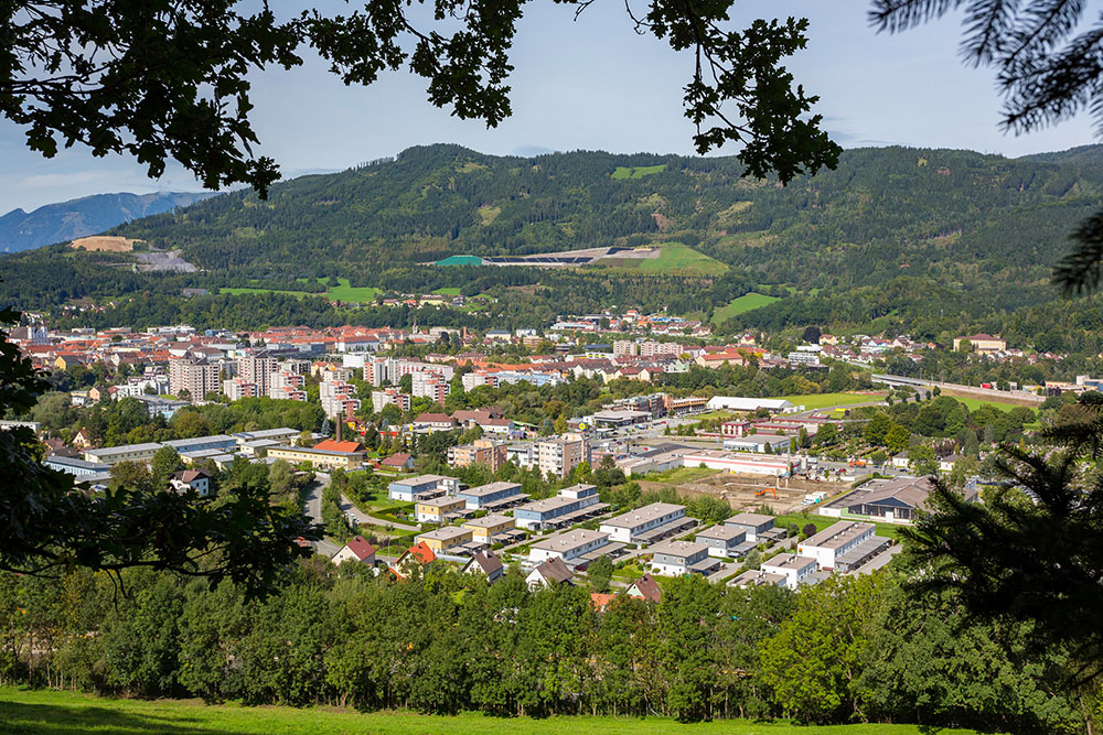
Lerchenfeld/Mühltal covers a wide area that stretches from the outer ring of the city centre to the neighbouring community of Niklasdorf.
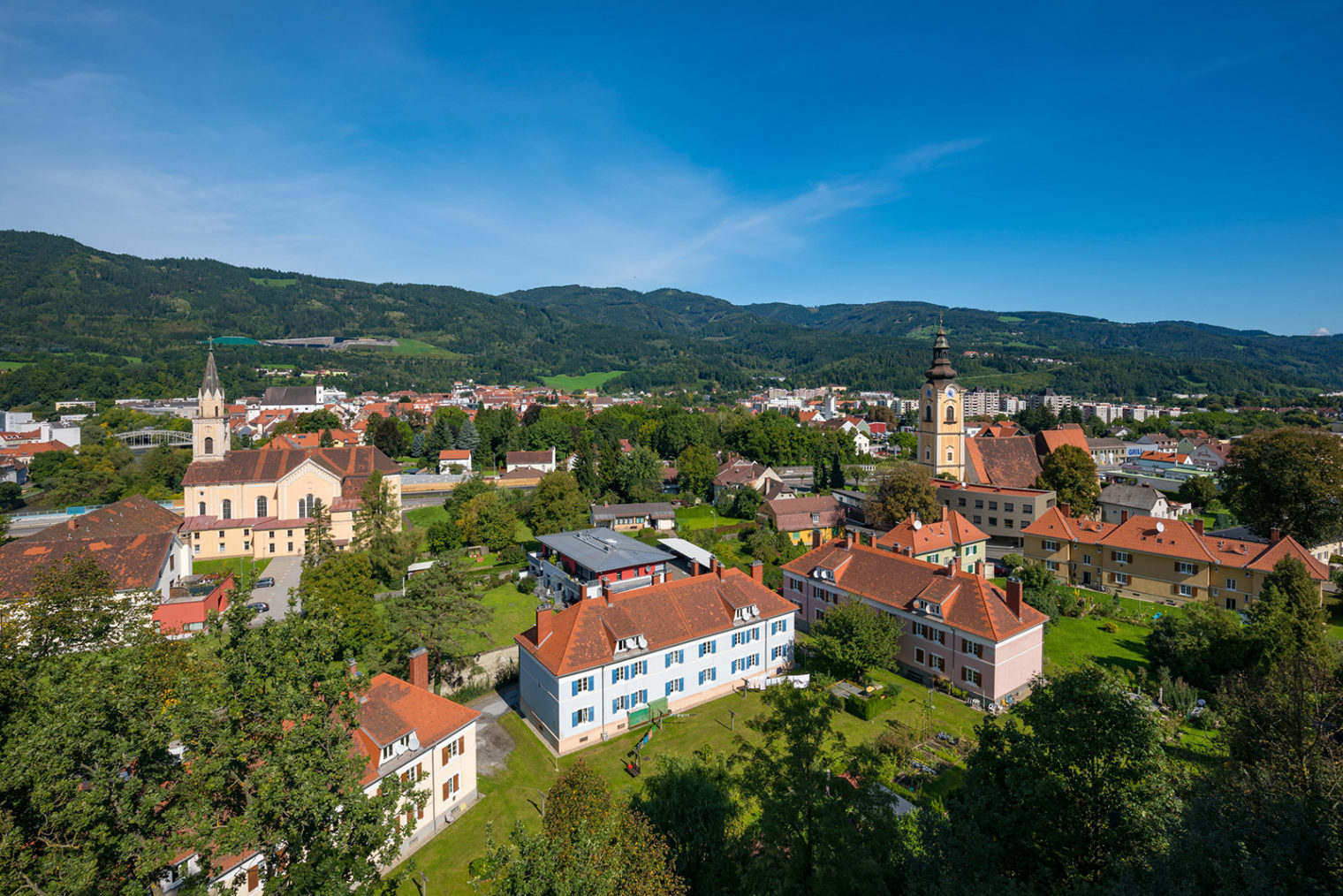
View of Mühltal with St. Alfons church (left) and St. Jacob’s church (right); photo: Freisinger
At home in Lerchenfeld/ Mühltal
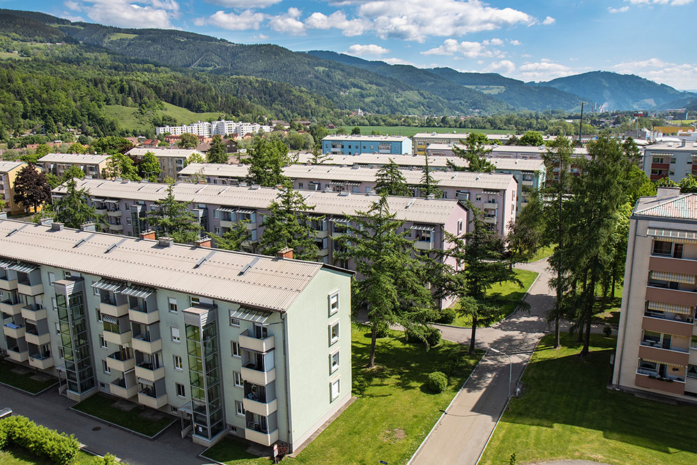
The district of Lerchenfeld was only developed in the past few decades and now offers many housing estates with council flats . A company site of the global logistics service provider Knapp Systemintegration is also located in Lerchenfeld.
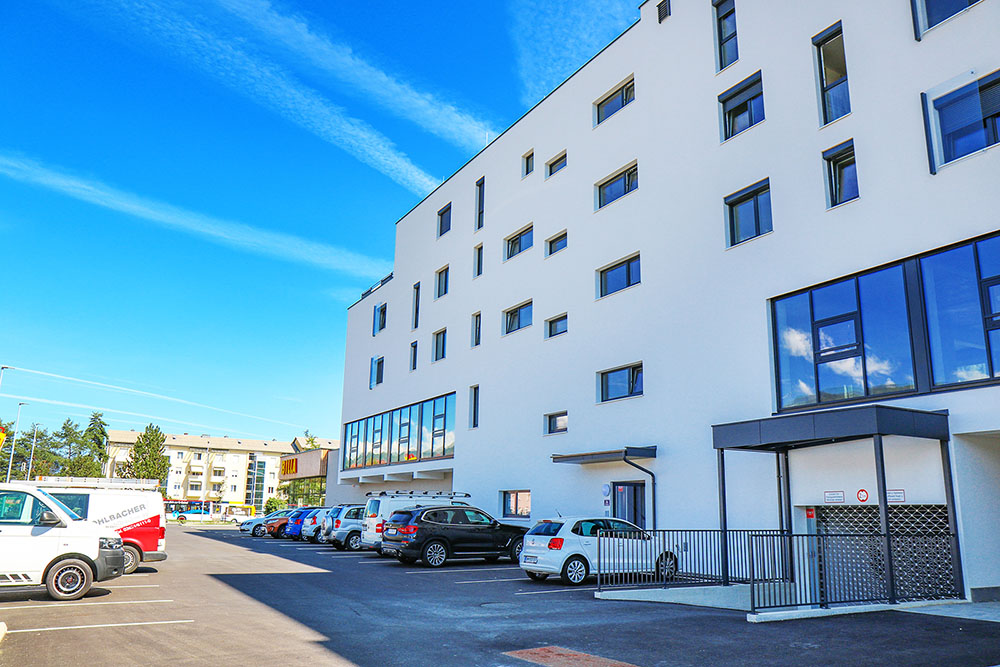
In Lerchenfeld there are several small settlements with detached houses and a modern estate of terraced houses. There are plans to extend this town house complex. More flats and related infrastructure are under construction.
History
The district owes its name of Mühltal to the many mills that once dotted the banks of the river Mur (Mühle = mill). The ruins of Massenburg fortress are towering above Mühldorf and offer a great view of Leoben.
In Lerchenfeld/Mühltal you find:
- All the infrastructure (medical doctors, shops, restaurants, …) within walking distance
- Two Kindergartens/ nurseries
- Public transport connection to the centre of town and to the regional network via the ÖBB stop Leoben-Lerchenfeld
- Local recreation area, playgrounds and sports facilities (walking tours towards Massenberg and Mugel, sports facility in Obritzfeldweg in Lerchenfeld, ice stock sport rink)
- Good transport infrastructure; Leoben-East slip-road to Semmering-Schnellstraße
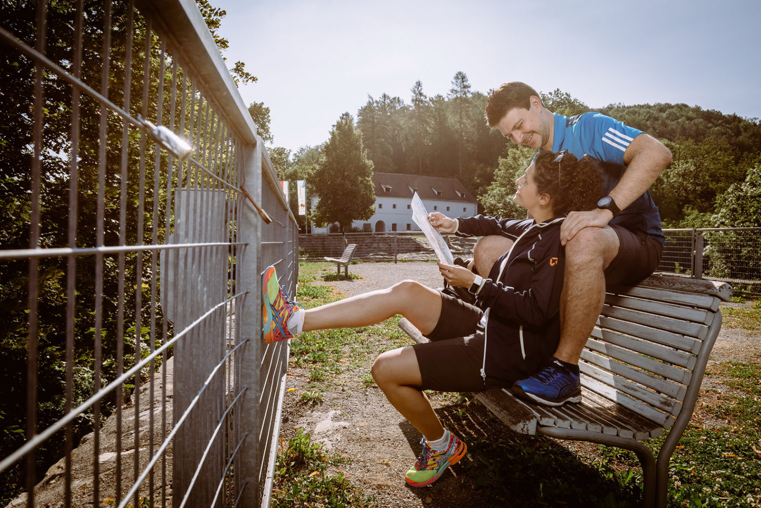
Hiking on Maßenburg Leoben; photo: Freisinger
